
GeoAxis
AI tool that identifies where any photo was taken by analyzing visual cues — no GPS or metadata needed.
| What is it | AI tool that identifies where any photo was taken by analyzing visual cues — no GPS or metadata needed. |
|---|---|
| Pricing | Paid — from €26.24/mo |
| Free tier | No |
| Platform | Web Application |
| API | Yes |
| Best for | verifying where a news photo was taken, identifying unknown locations from travel photos |
| Domain registered | 2026 |
Data updated Sept. 19, 2026
What does GeoAxis do?
GeoAxis is an AI-powered image location finder. You upload a photo, and it tells you where the picture was taken — no GPS data, no EXIF metadata, nothing but the image itself. The AI looks at landmarks, terrain, vegetation, architecture, and other visual clues to pinpoint the location, often with meter-level accuracy. It works even with low-light, low-resolution, or partial views.
The tool offers several modes. Geo-Estimation gives a broad area guess, while Precise Geolocation narrows it down to a specific spot. Indoor Geolocation and Car Identification are listed as coming soon. GeoAxis claims to have indexed over 5 billion images and covers more than 2,000 cities. The company also offers HyperVision, an enterprise version with custom city deployments and priority support. The interface is straightforward: upload an image, wait a few seconds, and get coordinates or a map location.
GeoAxis is useful for journalists verifying photo origins, travelers trying to remember where a shot was taken, or investigators working with anonymous images. It's also handy for anyone curious about a random photo they found online. The free tier lets you try it out, and paid plans unlock higher accuracy and more queries. If you've ever wondered "where was this photo taken?" and had no metadata to go on, this tool gives you a solid answer.
Key features
What makes it stand outWho is GeoAxis for?
Who benefits most from this toolPricing
Pro
- Unlimited location detections
- HyperVision™ accuracy (within 10 m)
- Web and mobile access
- PDF export
Business
Everything in Pro, plus:
- 50 API calls per month
- PDF export
- Higher query limits
- Priority support
Enterprise
- Custom city deployment
- Unlimited API access
- Access to new models
- All platforms and devices
- Advanced PDF exports
- Priority support
Trust & presence
Gallery
Click any image to enlargeAlternatives in Image Recognition
 lenso.ai
Verified
Image Recognition
lenso.ai
Verified
Image Recognition
AI reverse image search with facial recognition — upload a photo to find similar images and faces online
 Facesearch AI
Verified
Image Recognition
Facesearch AI
Verified
Image Recognition
Find matching faces across social media, dating sites, and the web by uploading a photo.
 Face Search AI
Verified
Image Recognition
Face Search AI
Verified
Image Recognition
Upload a photo to find where your face appears online, across news sites and public sources.
 Flypix
Verified
Image Recognition
Flypix
Verified
Image Recognition
AI-powered geospatial analysis tool — upload satellite, aerial, or drone imagery to automatically detect, monitor, and inspect objects at scale.
 Everypixel
Verified
Image Recognition
Everypixel
Verified
Image Recognition
AI-powered stock image search engine that scans 50+ sources to find free and paid photos.
 EyePop
Verified
Image Recognition
EyePop
Verified
Image Recognition
Build custom AI vision models to detect objects, conditions, or behaviors in images and video — deploy in cloud or on-premise.
 ImgInsight
Verified
Image Recognition
ImgInsight
Verified
Image Recognition
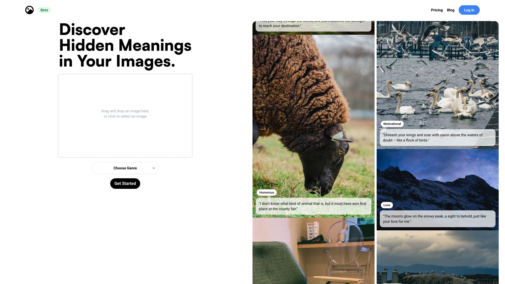
AI image analysis tool — upload a photo to get detailed descriptions, identify objects, and extract text.
 watchID
Verified
Image Recognition
watchID
Verified
Image Recognition
AI-powered watch identifier — snap a photo to instantly recognize any watch model from 50,000+ references
Similar tools
 GeoSeer
Verified
Research
GeoSeer
Verified
Research
Upload an image, get its location on a map in seconds – using AI agentic geolocation.
 whereisthis.place
Verified
Research Tool
whereisthis.place
Verified
Research Tool
Drop a photo — get GPS coordinates from EXIF or AI-generated ranked location guesses on a map
 GeoEvident
Verified
Research
GeoEvident
Verified
Research
AI tool that analyzes indoor and outdoor photos to find likely hotel, apartment, or street-level locations with supporting evidence.
 Picarta
Verified
Data Mining
Picarta
Verified
Data Mining
AI photo location finder — upload any image and discover exactly where it was taken on a map